Humphreys Peak is the tallest point in Arizona, sitting at just over 12,600 feet. This hike is tough, with over 11 miles round and 3,500 feet of elevation, but it is worth the pain to see the stunning views that greet you at the summit. One of my friends is trying to hike the high points in each state, so I tagged along to take down Humphreys Peak in the fall of 2021. Here is all the information if you want to hike Arizona’s tall point.
Details
- Free to park
- 11 miles round trip
- 3,500 feet of elevation gain
- The mountain is usually covered with snow in the winter
Getting There
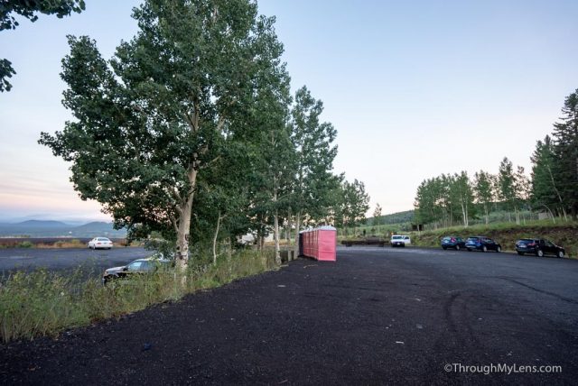
The hike begins from the parking area for the Arizona Snowbowl Mountain Resort. It takes about 25 minutes to drive there from Downtown Flagstaff, and there is a good amount of parking available in the summer. There are bathrooms in the parking area as well.
The Humphrey’s Peak Trail
The trail heads out from the parking area and crosses over a ski run on its way to the official start.
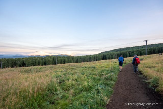
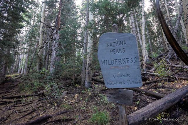
After crossing this open area, you will head into the forest and enter the Kachina Peaks Wilderness.
From here, the next 2 miles will just be going up on long switchbacks.
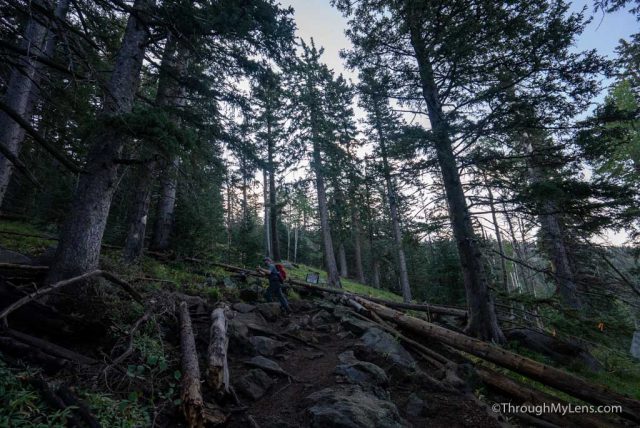
Luckily the trail is covered with shade, so that makes it pleasant in the summer.
I will say that this trail is pretty brutal if you have knee or ankle issues. The trail has massive rocks and roots pretty much the entire way, so it requires your complete attention. It is especially brutal on the way down when you are tired, and it is steep.
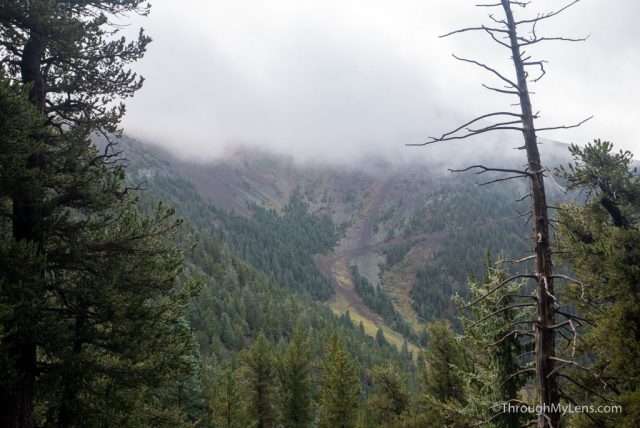
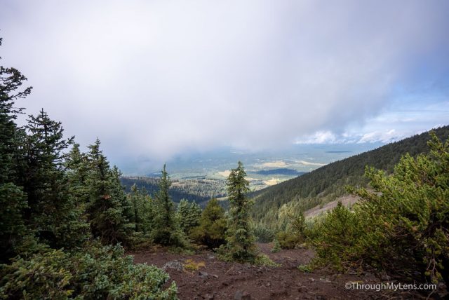
As you proceed up, the trail continues on switchbacks, but it starts to give way to views looking down into the valley you came up from. The views continue to get better as you head up.
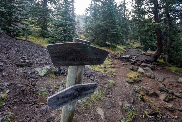
After the fifth or so switchback, you will cross a sign which informs you that you are over 11,400 feet and cannot camp above this.
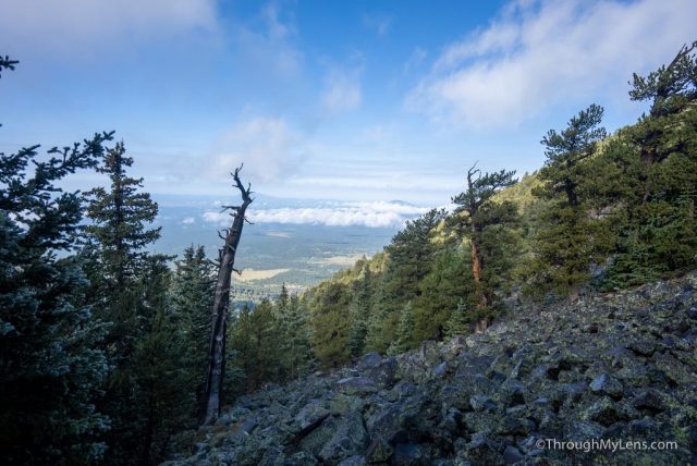
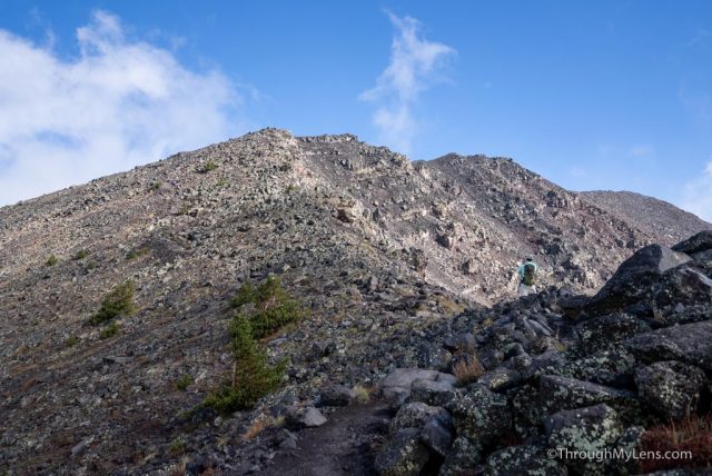
The trail continues to go up from here until it leaves the trees behind and reaches a saddle.
The saddle is a great place to take a break, and you can see the ultimate goal from here as well.
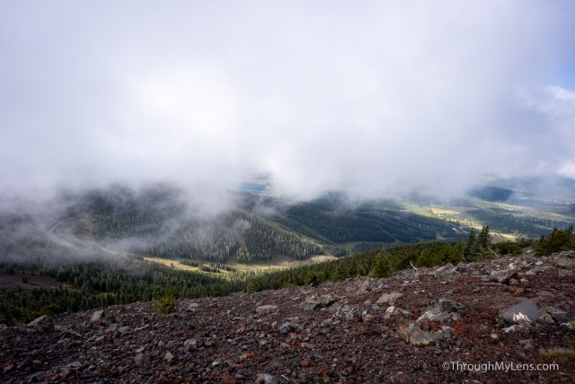
From the saddle, the trail really begins to get tough. There is only around a mile left, but the mile is steep uphill with loose rocks and even some steep stone steps.
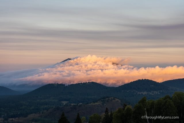
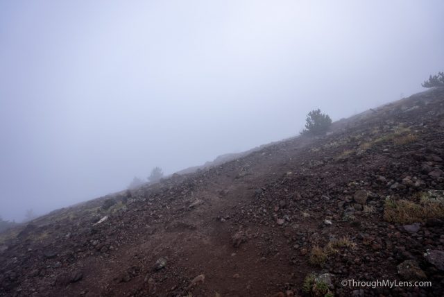
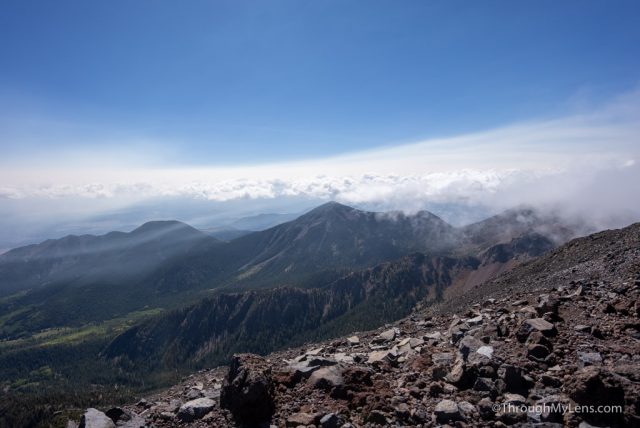
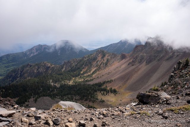
This area is completely exposed, so it could be hot or have 25 MPH winds as it did for us.
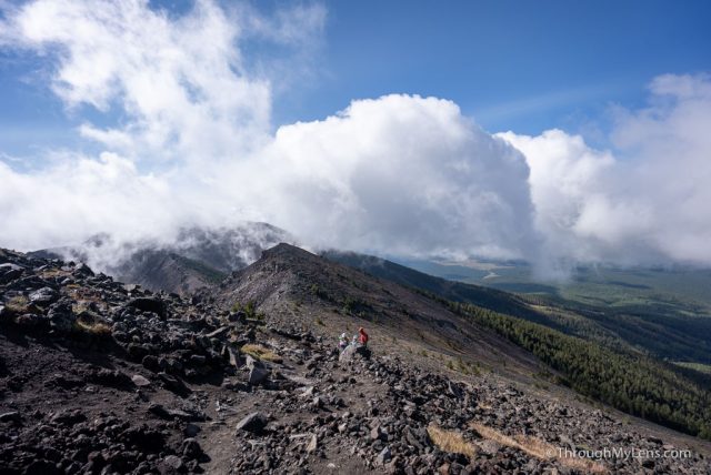
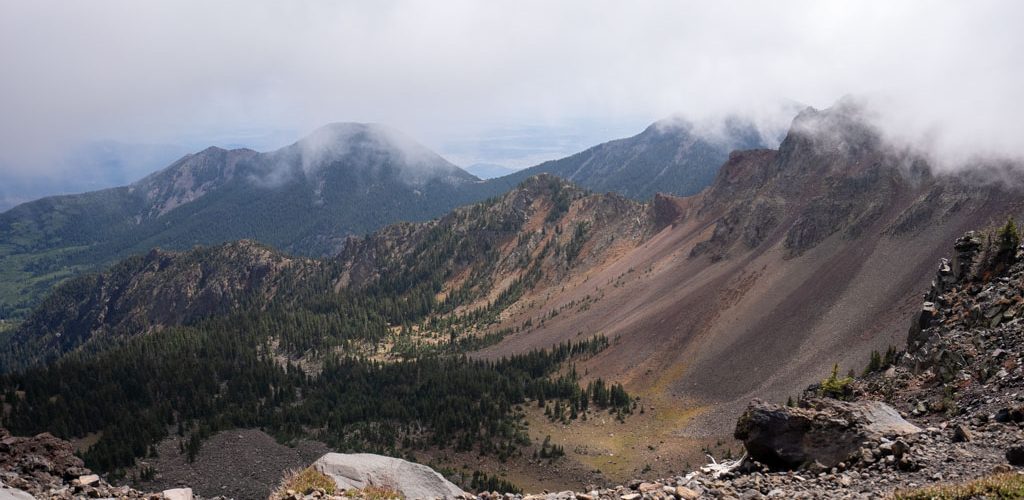
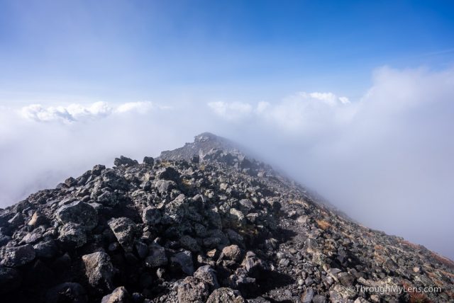
The wind blew in the fog, so we went in and out of the clouds with different levels of visibility as we continued up.
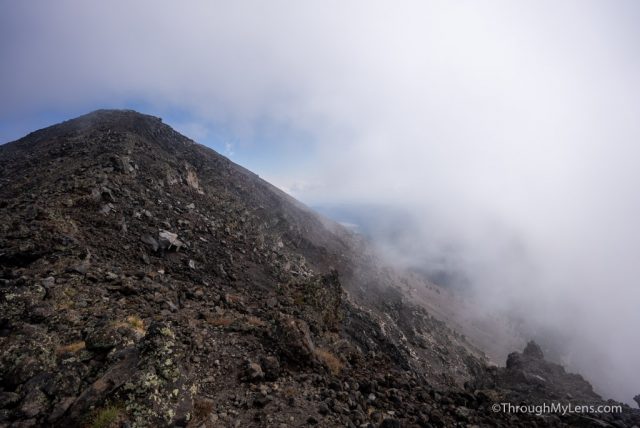
On the way to the peak, there are two false summits where it seems like you are getting to the high point only to arrive and see another high point out in the distance.
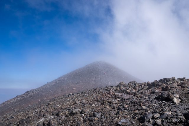
After the second false summit, the actual summit will come into view, and you can see the endpoint.
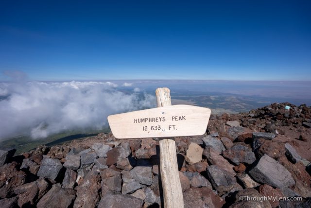
I was excited to make it to the summit but was greeted with 45 MPH winds, so I could barely stand and sheltered in the rocks as much as possible.
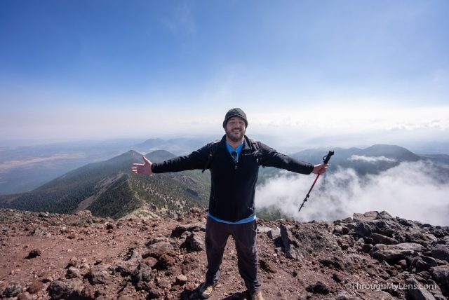
Because of that, I didn’t get to soak in the views like I wanted to, but it was a fantastic vantage point that let you see for miles down on other smaller peaks around you.
After hanging out for 5-10 minutes, I began the hike down. Remember, this downhill is challenging, and don’t underestimate it.
Eventually, I was back at the car, having survived the hike up Arizona’s tallest peak. It was pretty tough, but it was a very rewarding hike. Let me know what you think if you have done it!