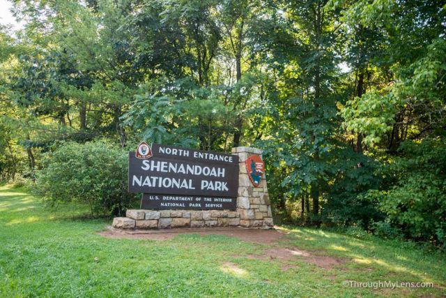
Shenandoah National Park is often said to be a park that you just drive through, however, getting out and exploring on foot is one of the best parts about it. The Appalachian Trail, one of the premier trails in the USA, has about 100 miles which goes through the park itself. The park is split into two sections though, and most of the hiking is in the Southern part. If you are heading to the Northern section, then consider this great hike in the Compton Gap, which gives you a lot of excellent views with only a little bit of work. Here is all the information.
Details
- 3.5 miles round trip
- 1000 feet of elevation gain
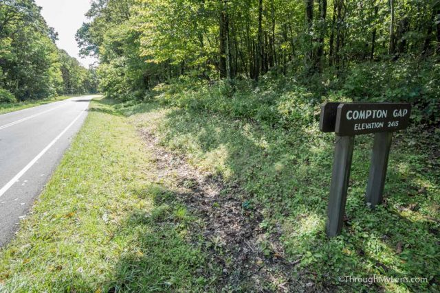
- Leaves from the Compton Gap parking area near mile marker 10
Getting There
The Trail
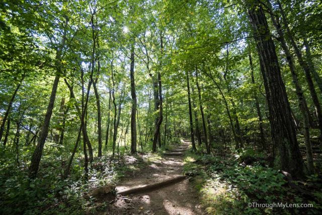
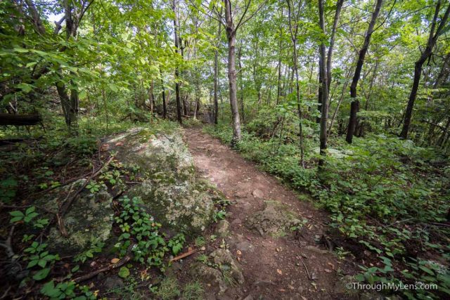
The path is almost entirely shaded, with large lush trees all around you. It seems like you are hiking in more of a jungle terrain than you are and it is stunning.
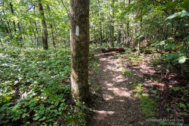
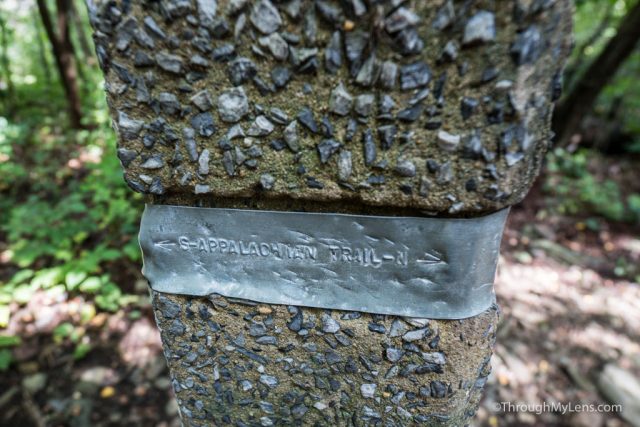
The trail you are on is the Appalachian Trail, and it is marked by white paint lines on the trees. It is easy to follow as it is well trodden.
The trail pretty much goes up the entire way on a gradual incline of switchbacks. It is not too difficult though so just take your time as you go up.
Eventually, the trail will reach its high point, and you will be walking on a flat path for about a quarter of a mile.
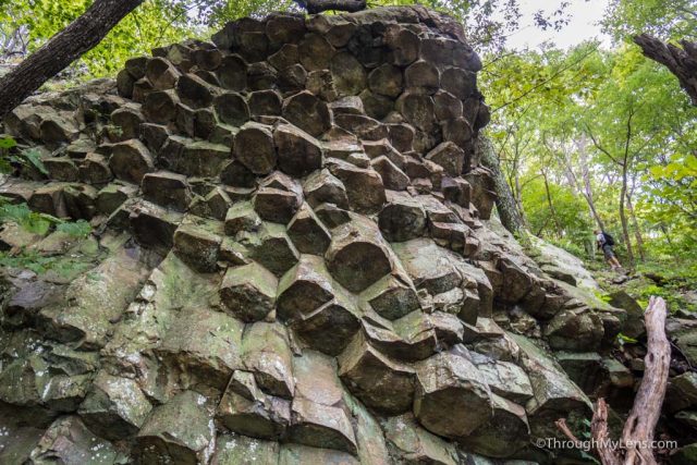
From here the trail connects with a four-way intersection. You will want to head right and left before heading back. To the right the trail goes out to the overlook and to the left, it goes down to the columnar jointing which was created by lava.
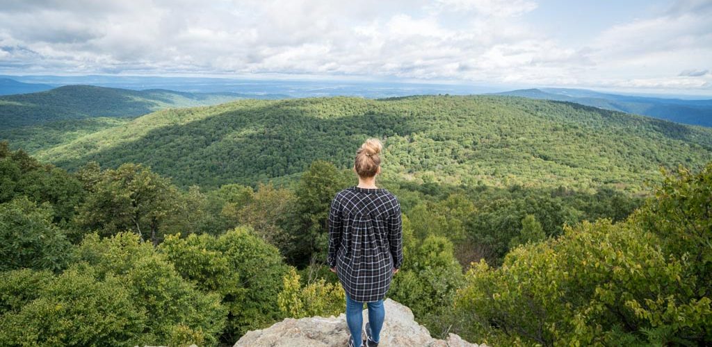
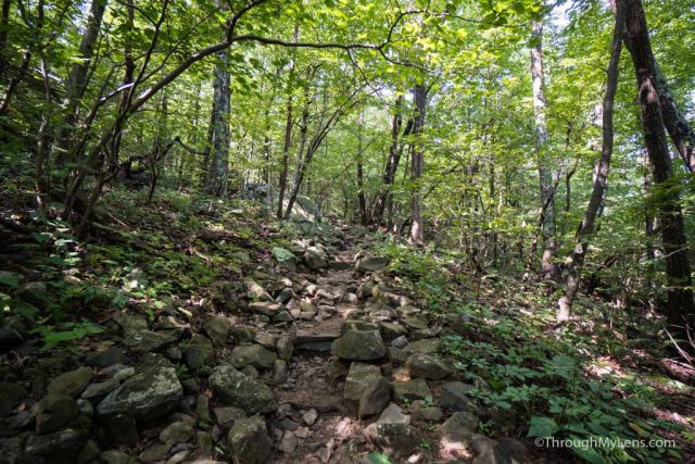
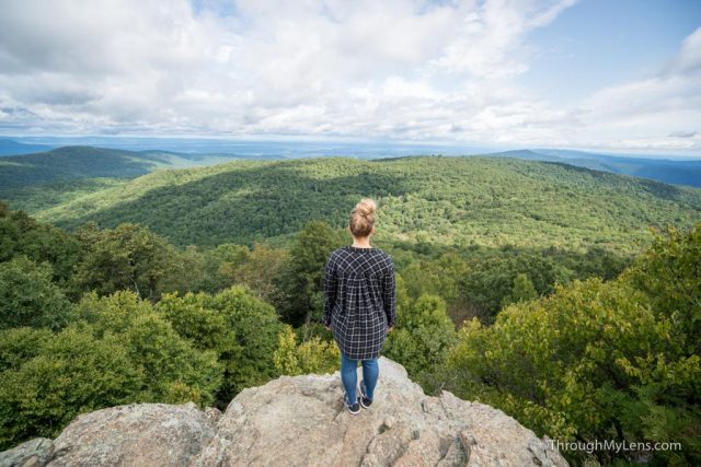
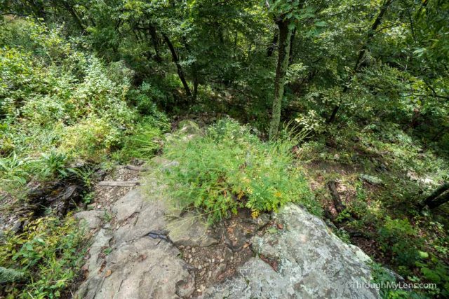
The right way is easier as you have a small downhill over jagged rocks, but after only two-tenths of a mile, you will reach a break in the trees which is the overlook.
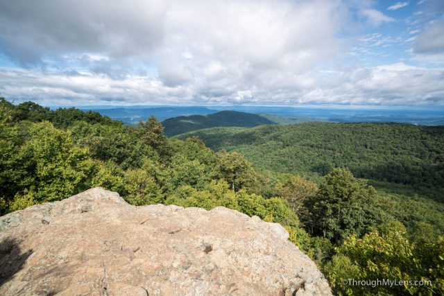
This area is a nice view point as it is clear and lets you see down on the forest below from a set of two rocks.
When you are done, head back to the intersection and proceed to the left (straight in front of you if you are coming back on this trail).
This path leads downhill and becomes steep after the first tenth of a mile. Remember that you have to go back up all of the elevation you are losing right now.
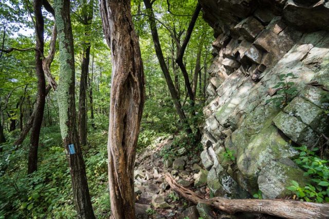
The end of the path is a set of steep stone steps that take you down and around the rock formation.
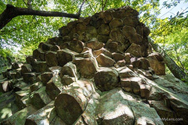
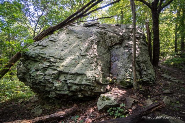
I was impressed by the columnar jointing as it was bigger than I anticipated and it looked like something you would see in Devils Postpile in California or Giants Causeway in Ireland.
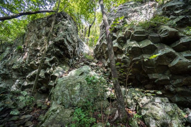
There are two main rocks here, and you can spend some time checking them both out.
Once you are done, it is 1.7 miles back out to get down to where you parked. Hopefully, you enjoyed this nice short hike in the Shenandoah National Park, be sure to spend more time on the trails if you can and let me know what your favorite is in the comments.