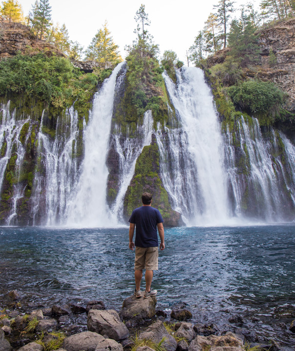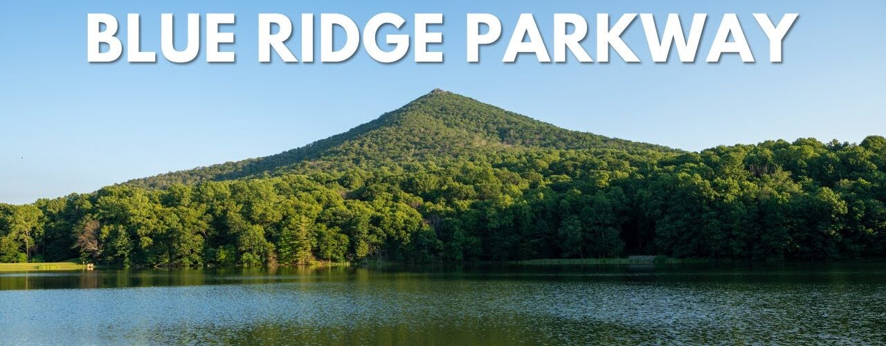
Blue Ridge Parkway is one of the premier road trips in the United States. The drive is 469 miles, and there is not a single stoplight or stop sign during that time. The speed limit is also a constant 45, with over 200 overlooks, so it is one of those drives where you don’t want to rush and just enjoy the journey. To make the most of your time on the Blue Ridge Parkway, here are all the tips I compiled after my dad and I spent four days driving the route. Let me know if you have additional questions in the comments.
Where to fly in and out?
Getting to the start of the Blue Ridge Parkway is one of the most challenging parts. Our route started in Cherokee, North Carolina, with the most significant nearby towns being Knoxville and Charlottesville. Both are at least a few hours’ drive from the start. I had a hard time finding flights into either of those, and the rental car prices were high for a one-way trip, so I flew into Nashville and then out of Washington DC. This worked well for me, but if you have less time, you could fly into Charlottesville and possibly out of Richmond.
How many days will you need to drive the Blue Ridge Parkway?
We did the drive in 4 days, and I wish we would have had one more day to make one of the longer sections a little shorter. That said, you could easily do it in 4 days if you don’t stop as much as my dad and me. That is around 115 miles a day; without stop signs, its relatively easy driving.
It does take longer than you will think to do the drive. There are overlooks and hiking trails everywhere, plus the speed limit is 45 MPH. If you are driving Blue Ridge Parkway, you want to relax and take your time, so plan for that and all the stops you want to make each day. With what my dad and I did in our video, we would typically leave at around 8 AM and be back in the hotel at 6 – 7 PM. They were long days, for sure.
There are over 200 overlooks on the drive, and you will see a new one every few miles, so even stopping at only a few each day consumes a lot of time.
Road Closures on the Blue Ridge Parkway
As you plan the route, be sure to research road closures. There was a 20-mile stretch that was closed when we went and had been closed for over a year. There were a few additional sections with closures as well, which can slow the drive depending on how far you have to go out of the way to get back to the main road. The detours were well marked, and the road closure information was available on the national parks service website.
Gas & Food on the Blue Ridge Parkway
Blue Ridge Parkway has basically no gas on it other than in the bigger towns, and there are not many restaurants on the drive either. That is not to say that it is that hard to get food and gas, but you want to research the route ahead of time to know where you can find your next gas station and where food might be. We had a few days where we planned a lunch spot, but it wasn’t open when we got there. Just grab some snacks and a case of water to keep in your car, and fill up anytime you are in a bigger town.
How do hotels work on Blue Ridge Parkway
Hotels were not difficult for 3 of the 4 days we were on the route. Hotels in Asheville and Boone / Blowing Rock are easy to find. The drive from Blowing Rock to Roanoke has basically nothing, so we drove all the way from Blowing Rock to Peaks of Otter on our trip. This was a very long day, but it was the best way to do it since there was only one option in Fancy Gap that I could find. Besides that day, you shouldn’t have any problems finding hotels at least close to the route.
How is the hiking on the Blue Ridge Parkway?
There are hundreds of miles of hiking trails along the Blue Ridge Parkway. We only did a dozen or so during our trip, and there were many I wanted to do that I didn’t get a chance to. I recommend planning for 2-3 hikes per day (depending on your fitness level) and noting that the hikes are not usually long but are almost always steep. Most of the popular hikes are less than a mile, but it is uphill the whole way. They can be pretty challenging, so plan for that when thinking about your route.
Do you have phone service?
We had reception for about 75% of the route. More often than not, we could use our phone map to plan our next stop, but there were sections where reception was not available. I just had an offline Google Map downloaded where I could see the map even without reception. Also, we had a book we used to see what was ahead of us on the road.
How to plan for weather?
When planning the trip, plan for any type of weather. We got lucky as our whole route was pretty much good weather. One morning, the fog was super thick, and we couldn’t see much, but it was nice the rest of the time. That being said, on the last day we spent in Shenandoah, we had a thunderstorm arrive on us, and it poured. Just be prepared for the humidity and the rain when you pack for the trip.
Cost
Lastly, here is a breakdown of the cost and what we spent on the trip. We spent right around $2,700 on the road trip. The main costs were the flight and the rental car. Hotels were not too bad, and food was bascially nonexistent since we often ate snacks. The main thing to decide is where you will fly into and rent your car; where you choose to do that will most affect the cost.
I have an ebook with a lot of this information, including a link to the map I used with my stops. Check it out if you are interested.
Hopefully this helped, and let me know if you have any other questions in the comments.